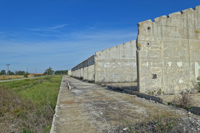
After exploring the incredible ruins of the Kinsgsbury Ordnance Plant, I crossed into Michigan and made my way to the city of Niles. A rural road led me past sprawling farm fields and the lush clumps of forest that hug the banks of the Dowagiac River.
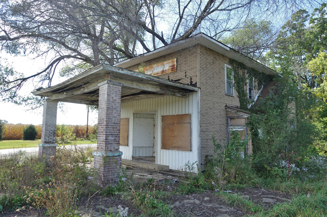
I stopped at a lonely intersection where an isolated two story brick building sat abandoned. Above the sagging porch roof hung a rusty sign with faded lettering that read "Groceries - Cold Meats".
Mindful of the "Keep Out" sign on the front door, I kept a respectful distance as I snapped a few shots of the old grocery store. I was not able to find any history on this neat old place. If you have any information, please leave a comment at the end of this article.
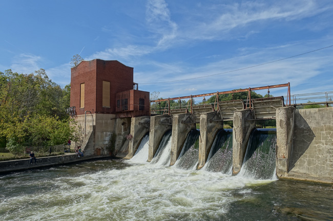
A few miles down the road, I came to the Pucker Street Dam. A few other cars were parked along the dirt loop that marks the small public park. Half a dozen people sat along the river bank, casting fishing lines near the base of the dam. A popular spot for salmon fishing, I was surprised the sunny weather had not drawn a larger crowd. The sloping green hillside that overlooks the dam is a perfect spot for a picnic.
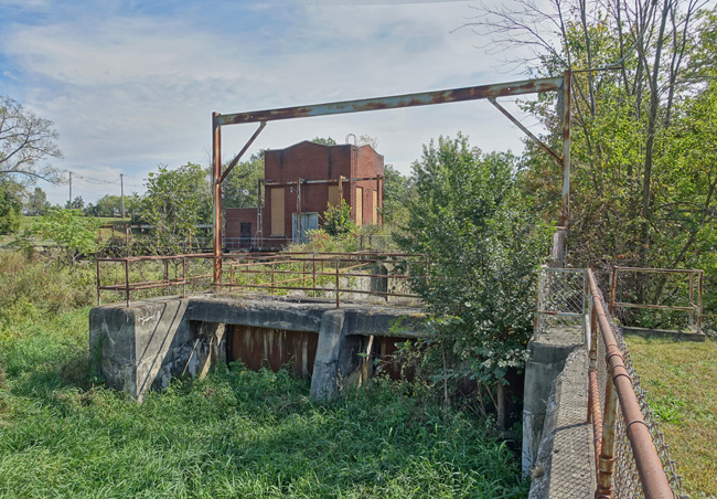
The powerhouse is sealed up and inaccessible so it was not possible to get a look at its inner workings.
Pucker Street Dam has a long history, extending back almost 200 years. In 1828 a log dam was built at the site to power a grist mill. In 1891 it was converted into a hydroelectric dam. The City of Niles purchased the property three years later.
In 1928 the log dam was replaced by the concrete hydroelectric dam, which went on to provide power to the city for 67 years. Due to costly maintenance problems Pucker Street Dam stopped producing electricity in 1995.
A private company has expressed interest in restoring the dam to working order, but the city remains unconvinced of the economic viability of such a project.
Faced with liability concerns and the increasing cost of maintaining the old structure, the City of Niles has drawn up plans to remove Pucker Street Dam and restore the natural flow of Dowagiac River.
Habitat fragmentation is a major factor in the decision. Located about three miles from the intersection of the Dowagiac and St. Joseph Rivers, the Niles dam blocks the migratory route of many species of salmon and other fish, preventing them from populating 159 miles of the watershed.
In addition to restoring the ecology of the Dowagiac River system and expanding the fishery, removal of the dam will open the waterway to recreational activities including kayaking, canoeing, and tubing.
Grateful for the opportunity to see Pucker Street Dam before it is demolished, I left Niles and continued my journey through the Rust Belt. Next stop: Buchanan, Michigan, home of a major abandoned industrial site.
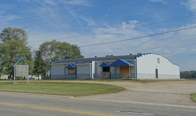 |
| Vacant building across the road from Pucker Street Dam |
Thank you for checking out this article. If you enjoyed it, please share it on Facebook.
To receive an email announcement when I post my next article, please subscribe to Places That Were.
Until then, click here to read about more awesome places I explored on my Epic Rust Belt Road Trip.
And feel free to follow me on social media:
Facebook: http://www.facebook.com/placesthatwere
Instagram: http://instagram.com/theplacesthatwere
Twitter: https://twitter.com/placesthatwere/
Tumblr: http://placesthatwere.tumblr.com/
Google+: https://plus.google.com/u/0/+JimSullivanPlacesThatWere/posts
EyeEm: https://www.eyeem.com/u/placesthatwere
Youtube: https://www.youtube.com/jimplicit
500px: https://500px.com/placesthatwere
Thank you!
